
Mapping Your People
Chris.Dolan • November 22, 2021
Want to know the geographic region for each of your congregants? Or, are you looking to start a new church location, host a picnic, or start a new small group? These questions and more can be answered by using our new Family Mapping feature.
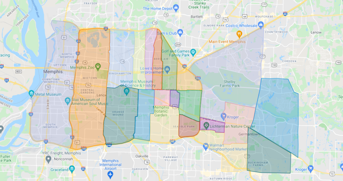
In summary, this feature allows you to set a latitude and longitude for every person’s address which can then be used to find out which geographic region they live in (based on a map that you define and upload to TouchPoint) as well as visualize where people live with points on a map.
This tool requires a Google API Key to be set up by your church. For more information and details on how to get this set up, please visit our documentation here.